
Not an excerpt, not a template. An actual report, with the client’s identifying details removed and nothing else changed.
This one is a residential assemblage in a North Carolina town where the land was excellent and the utility situation wasn’t.
It’s a useful example because it isn’t a clean answer. The recommendation is a conditional go: the site is genuinely good, no floodplain, no mapped wetlands, forgiving topography, a land use plan that encourages exactly the product contemplated, and the whole deal turns on two written answers the buyer didn’t have yet.
Which is what most real reads look like. The value isn’t a verdict. It’s knowing precisely which two questions decide the deal, so you can structure a contract around getting them answered before your deposit goes hard.
Read the precedent section in particular. That’s where the political record does work no ordinance can: what that board approved over organized opposition, on what vote, and what the objectors actually said.
What the nine sections actually look like
Everything below is lifted from the report itself. Parcel identifiers have been painted out of the maps and the ownership table is not reproduced here. Nothing else is changed, including the risk scores and the two open questions the deal turned on.
The site
Seven parcels, 74.9 acres, held in three separate ownerships inside a town’s extraterritorial jurisdiction. Two of the seven were the assemblage risk, and the smallest of them mattered out of proportion to its size because it held the highway frontage.
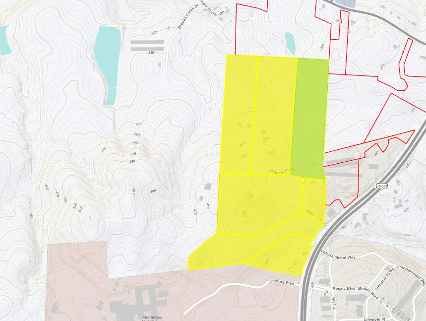
Environmental: the cleanest part of the deal
No FEMA or state mapped flood hazard anywhere inside the boundary. No mapped wetlands, with the nearest features off site. Roughly 60 feet of relief falling east toward the highway, and slopes predominantly between zero and 11 percent. For a Piedmont tract of this size that is unusually forgiving, and it is why this section scored green.
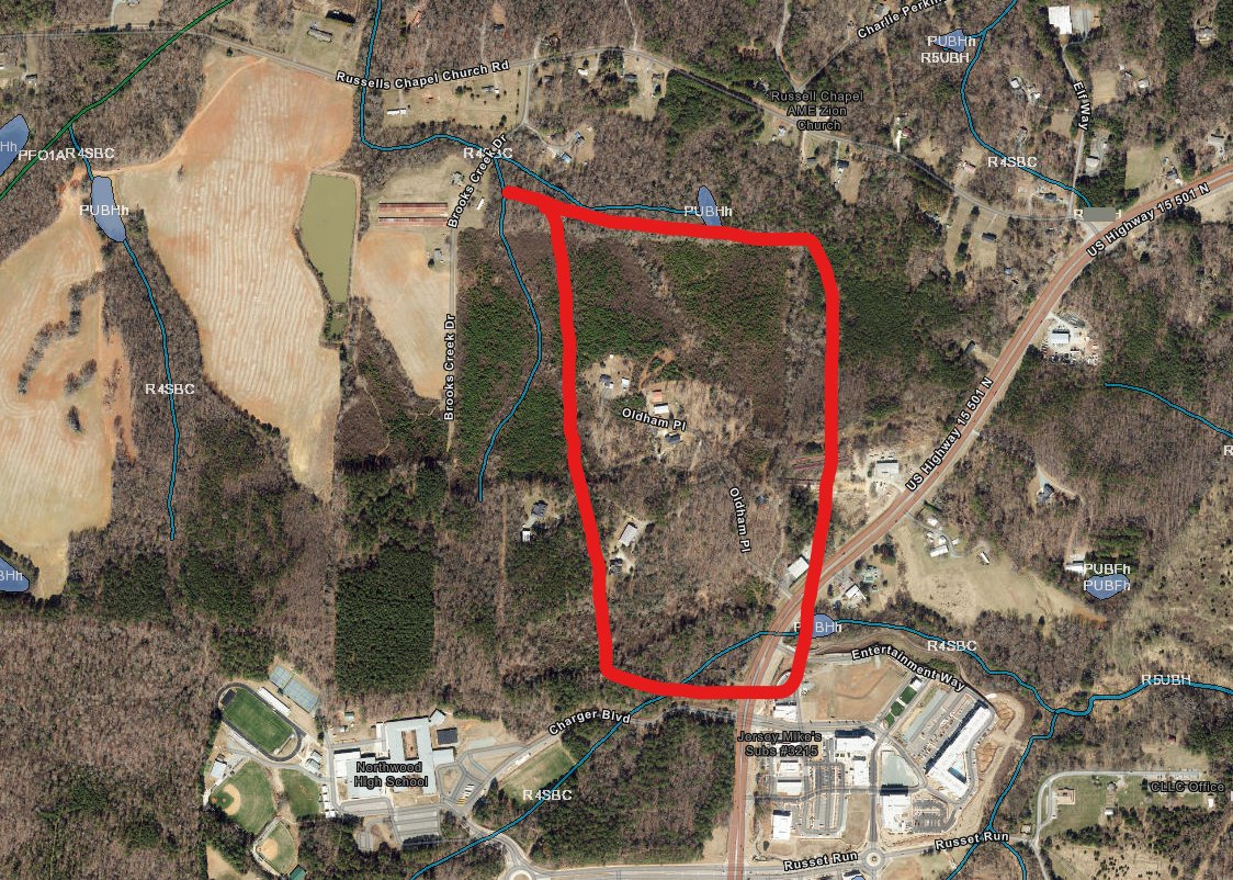
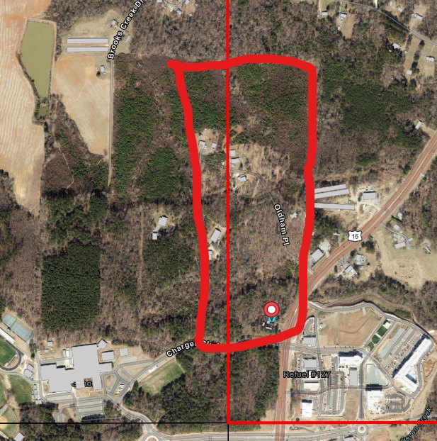
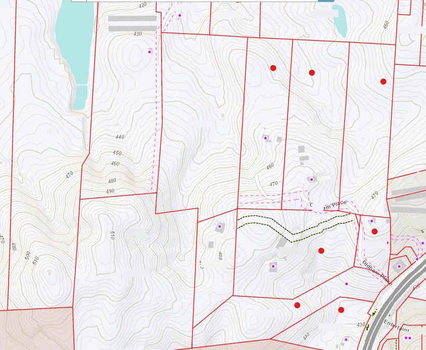
The one item that reached the site plan was the riparian buffer. The report identified two features to resolve, put the buffered area at three to five acres against 74.9 gross, and recommended ordering the stream determination early because it is inexpensive and it decides whether a buffer bisects the tract or not.
Water and sewer: where the deal actually sat
Water was effectively at the property line, with a main along the full highway frontage and hydrants mapped at both ends. Ordinary on-site work rather than an off-site extension.
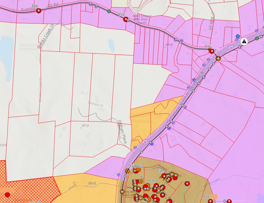
Sewer was the constraint, and not because of the pipe. The nearest public sewer terminated between 1,500 and 2,500 feet south of the boundary, which is a solvable engineering problem on a tract this size. The problem was capacity inside it.
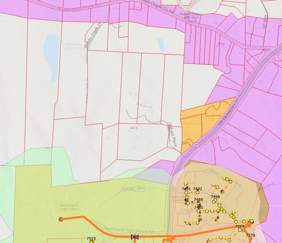
The treatment plant carries a permitted capacity of 750,000 gallons per day, and the utility had told the board it was not planning to expand it, pointing instead at a force main to a neighbouring system due in Spring 2027. Under the town’s allocation guidelines no project gets construction drawing approval without an approved allocation, requests queue in the order received, and being outside the corporate limits counts against you. A 160-unit program projects to roughly 58,000 gallons per day, which is close to eight percent of the entire plant. That is the sentence that repriced the deal. This section scored red.
Zoning: a twenty-fold density question
Read literally, the base district was fatal: a five-acre minimum lot and 0.2 units per acre produces about fifteen lots across the whole assemblage, which does not support the purchase. The entire density thesis rested on one conservation subdivision provision that allows up to four units per acre, in all districts, where public utilities serve the site.
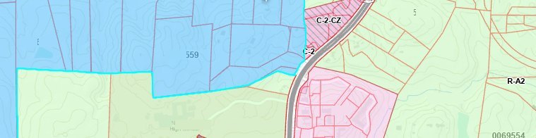
A twenty-fold density increase without a rezoning is not something to rely on without confirmation, and the report said so. It also found the town’s own adopted land use plan asking staff to “evaluate and clarify permitted uses, density and approval process” for conservation subdivisions, which is a town telling itself in writing that this exact question is unresolved. The recommendation was a written interpretation from the planning director before any earnest money went hard.
Land use plan
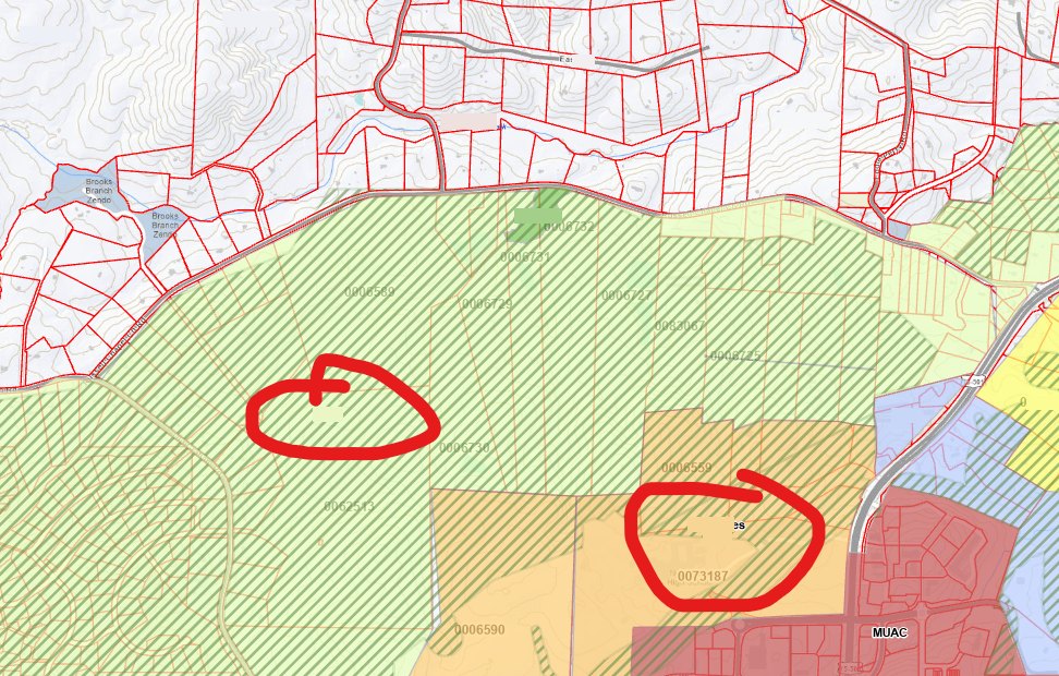
The future land use map supported the product, which is the easy half. The report carried the designations, the overlay question that had not been confirmed, and what a watershed overlay would do to the yield if it turned out to apply: single-family density capped at two units per acre, and coverage capped well below what the layout assumed.
What it concluded
A conditional go. The land was good, the plan supported the product, and two written answers decided whether the deal worked: a sewer allocation the town could not grant out of current headroom, and a planning director’s interpretation of one ordinance section. Neither is expensive to obtain. Both take time, and both are the kind of thing a buyer normally discovers after the deposit has gone hard.
Read it
No form, no email address. It opens in your browser and you’re welcome to forward it.
Want one on your parcel?
Same structure, your site, two days.